The Lab
Where we build, test and sometimes reject. This is the R&D behind VisScanner — open about what works, and just as open about what doesn't.
Our rule is simple — we call it the refutation gate: a model that doesn't hold up on data it has never seen doesn't ship. The same goes for findings. We only publish once we can no longer knock down our own conclusion. This page shows what that process sometimes looks like.
 Research
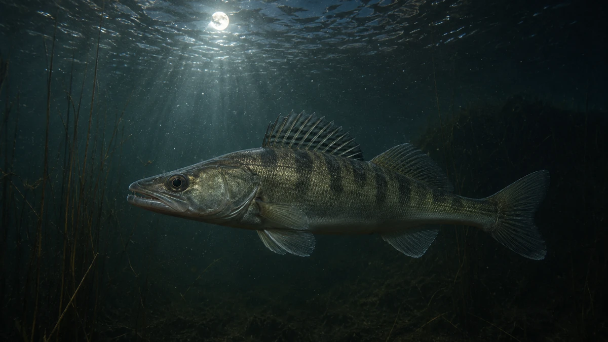
Eel in the dark, pikeperch in the moonlight: teaching the forecast to tell time
We're extending the catch forecast with temporal features — hour, season, moon. Most are small on average, but one splits the night hunters: eel wants the dark, pikeperch the moonlight.
 Articles
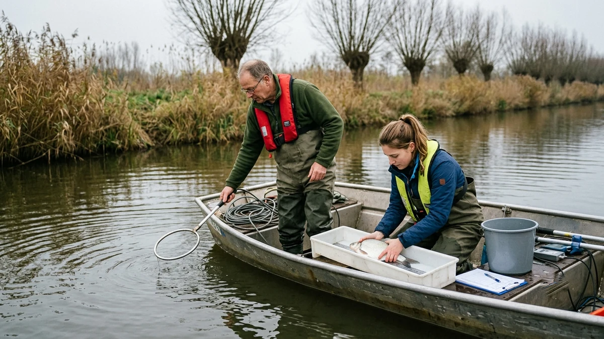
From dataset to waterside: our founder is joining ATKB on a fish survey
Testing models against reality eventually means: boots on the ground. Wytse Punter is soon joining a fish-stock survey run by ATKB.
 Development
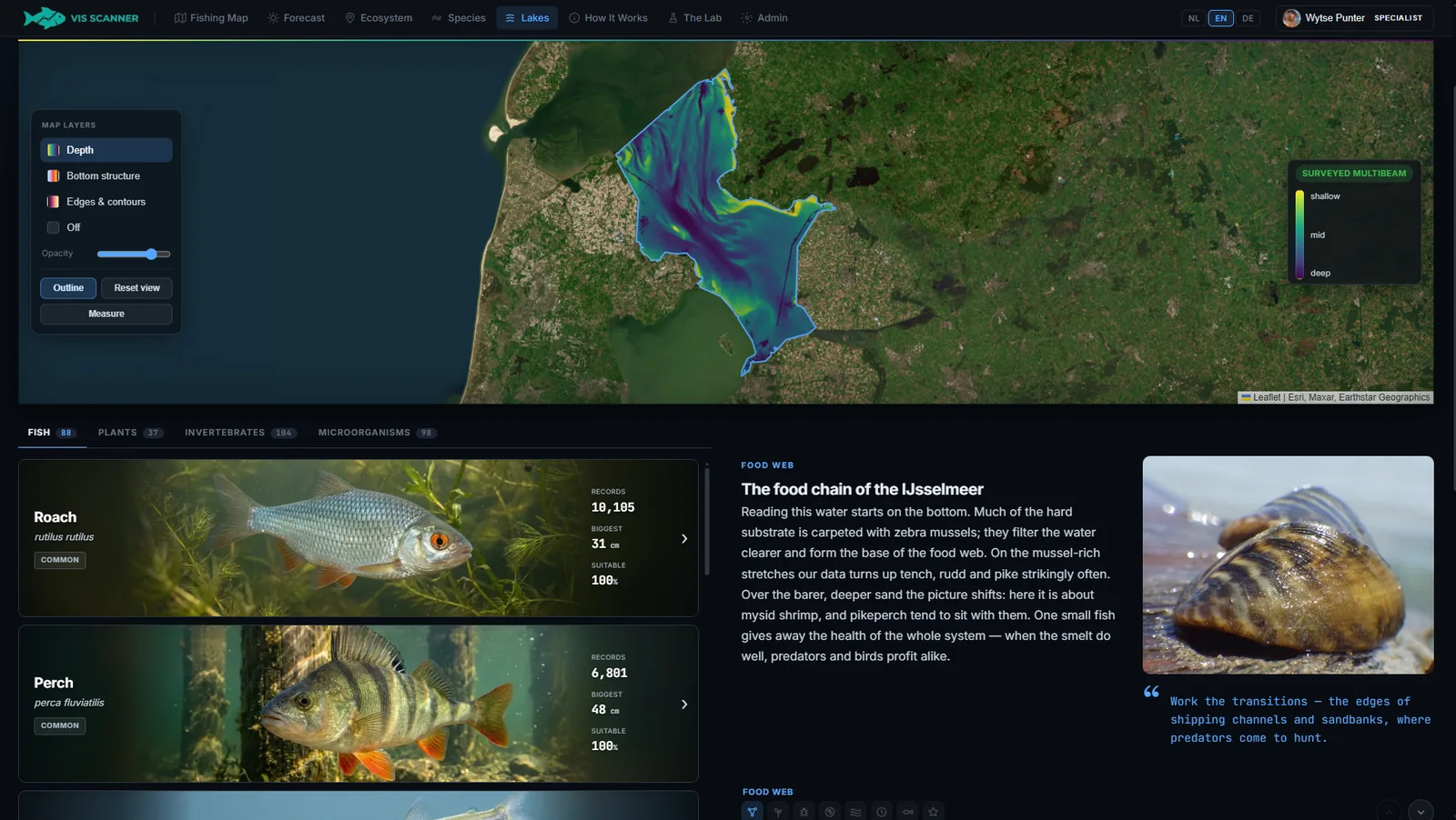
Lakes & Depth Maps
Every named Dutch lake gets its own page — with all organisms, rarity, a depth map and the sharpest aerial imagery. Plus a 48-hour hourly forecast that shows, per species, when the fish bite, and a spot analysis that honestly shows how over-represented each organism is at a location.
 Research
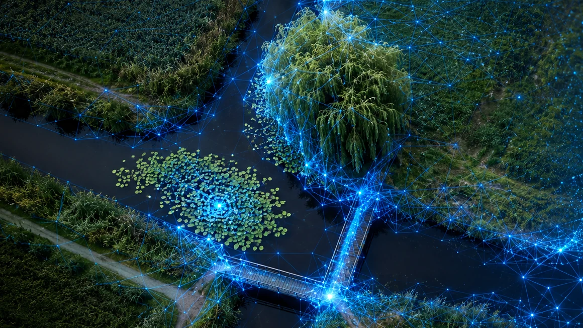
Teaching a model to see what an angler sees: self-supervised image recognition on aerial photos
Overhanging trees, bridges, T-junctions, lily beds. We're teaching an AI model which structures go with which fish — and why we haven't published it yet.
 Research
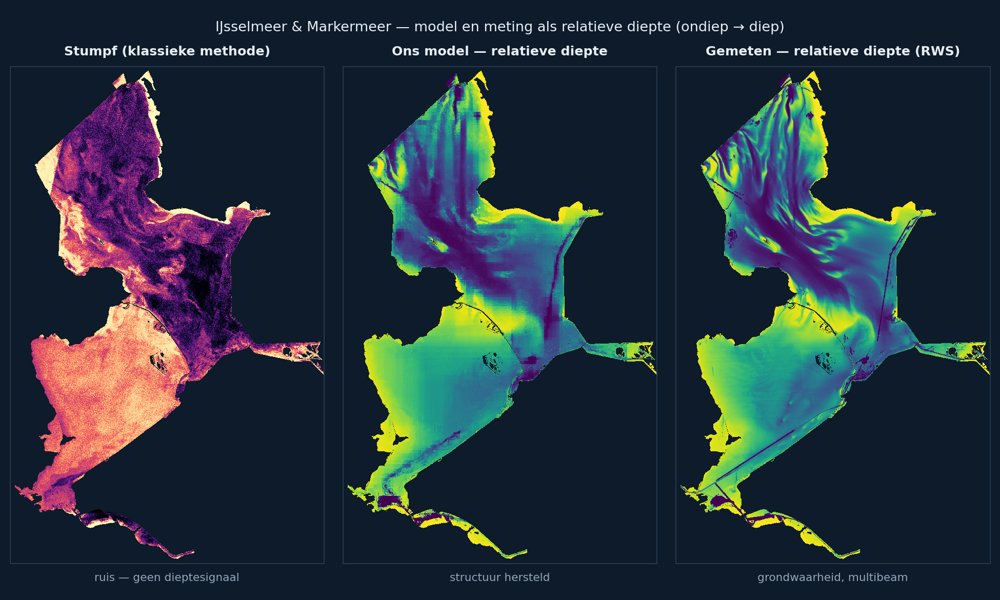
Reading the bottom from space: why we don't roll out satellite depth everywhere (yet)
We reproduced the standard method for satellite depth and built a model around it that works where the classic approach breaks down on turbid inland water — and still decided not to ship it everywhere. Here's why.