The Lab
Where we build, test and sometimes reject. This is the R&D behind VisScanner — open about what works, and just as open about what doesn't.
Our rule is simple — we call it the refutation gate: a model that doesn't hold up on data it has never seen doesn't ship. The same goes for findings. We only publish once we can no longer knock down our own conclusion. This page shows what that process sometimes looks like.
 Research
Water cannot tell you whether a fish will boom or bust. It can tell you where to find it.
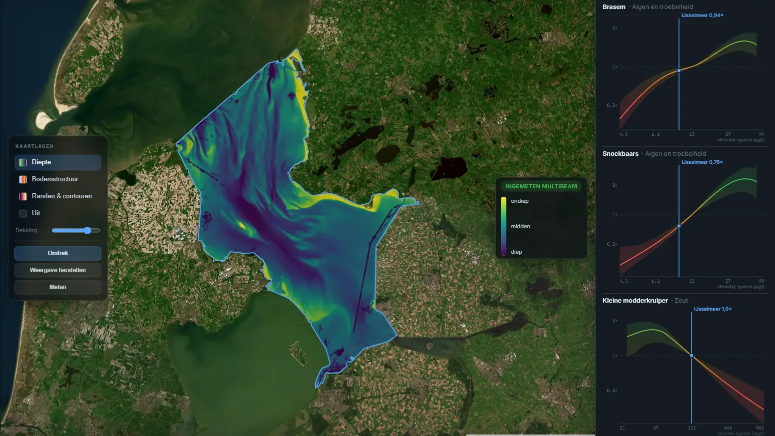
We wanted to know whether water measurements can tell if a fish species is going to grow or shrink. They cannot: a single survey is far too coarse for that. But the water does tell you which fish you find where, and that held up in regions, years and a second dataset the model had never seen. That is where the curves on the lake and species pages come from.
 Development
Water and fish
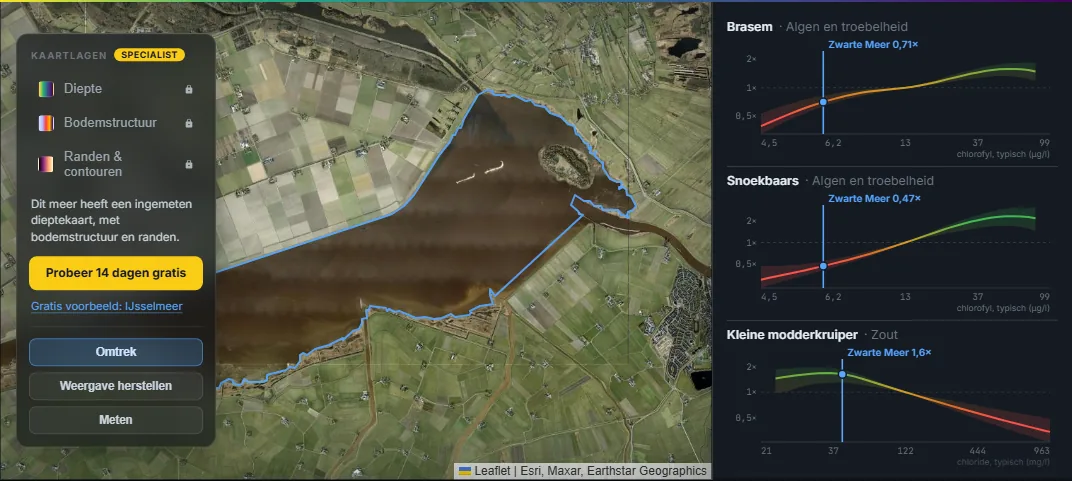
The lake and species pages now show which fish you find more often in turbid or clear water, and in hard or soft water. The Zwarte Meer has its own page, with its food chain drawn. And every account gets 14 days of everything in Specialist, with no credit card.
 Research
Our model predicted anglers, not fish. What survived was season and water temperature
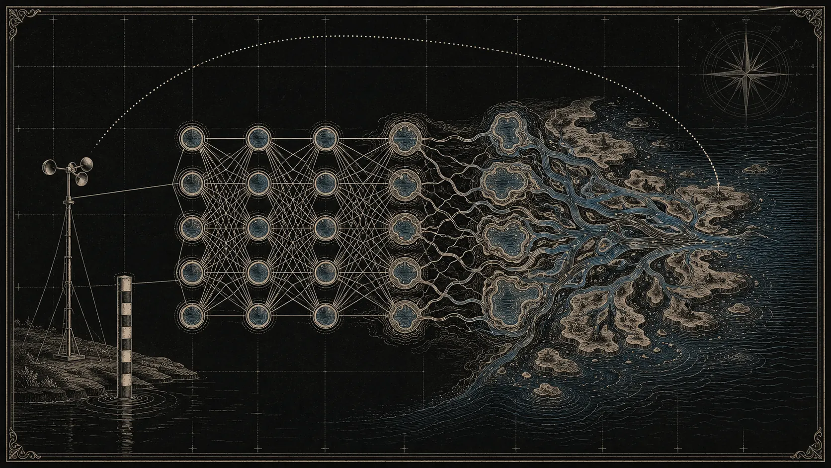
For two weeks our model said wind was the biggest driver of whether you catch fish. It was not. It was the shape of the Dutch coastline. Then the day-level signal turned out to know mainly which water is good, not which day. Here is what we found when we audited our own numbers, and how the forecast page was rebuilt around the answer.
 Articles
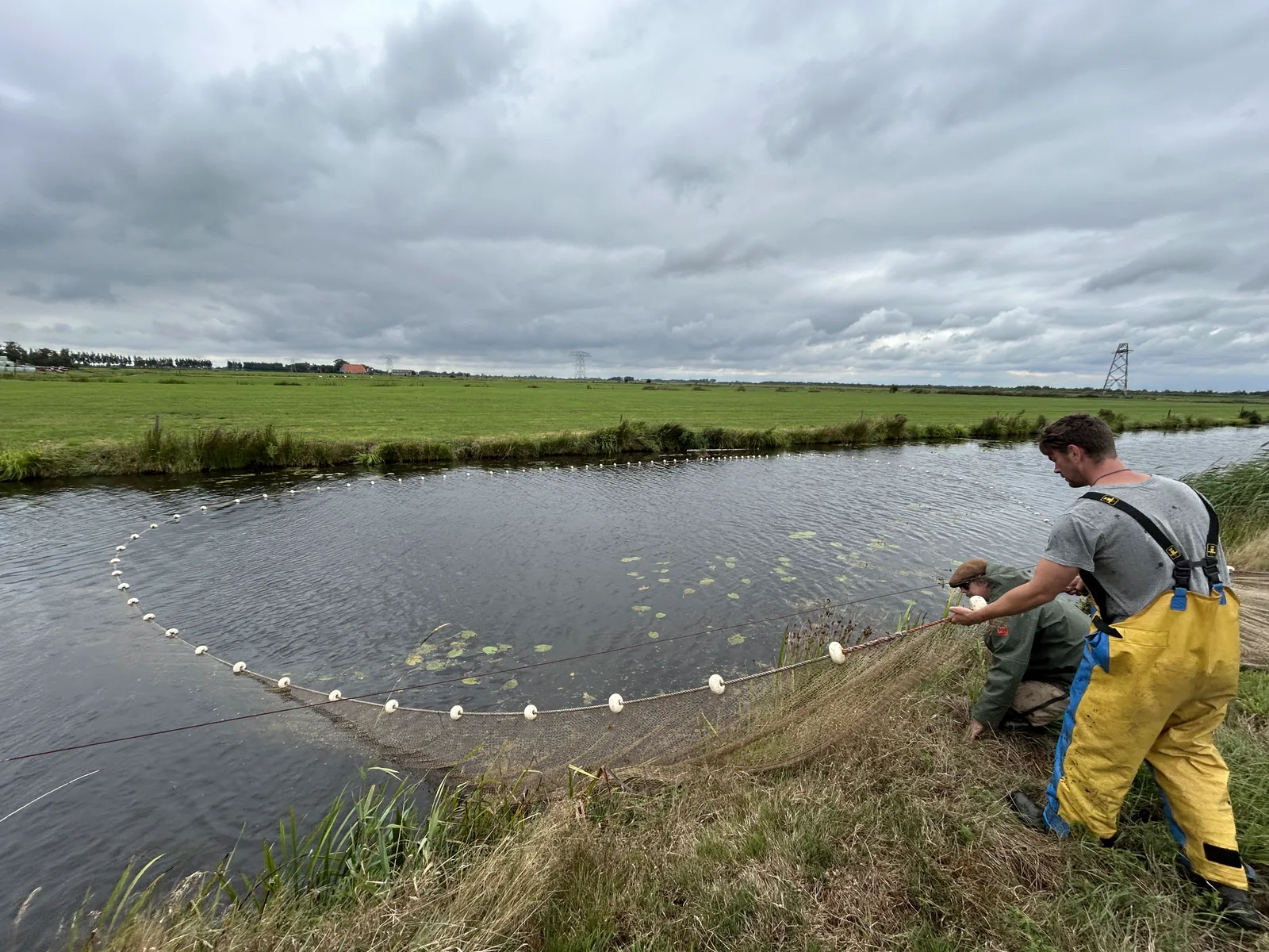
A day out with ATKB: the net decides what you see
Wetterskip Fryslân pointed us to ATKB, and ATKB took us out for a day in the polders near the Sneekermeer. What we came back with was not about fish. It was about how fish get measured, and one remark knocked over an assumption sitting inside our own size model.
 Research
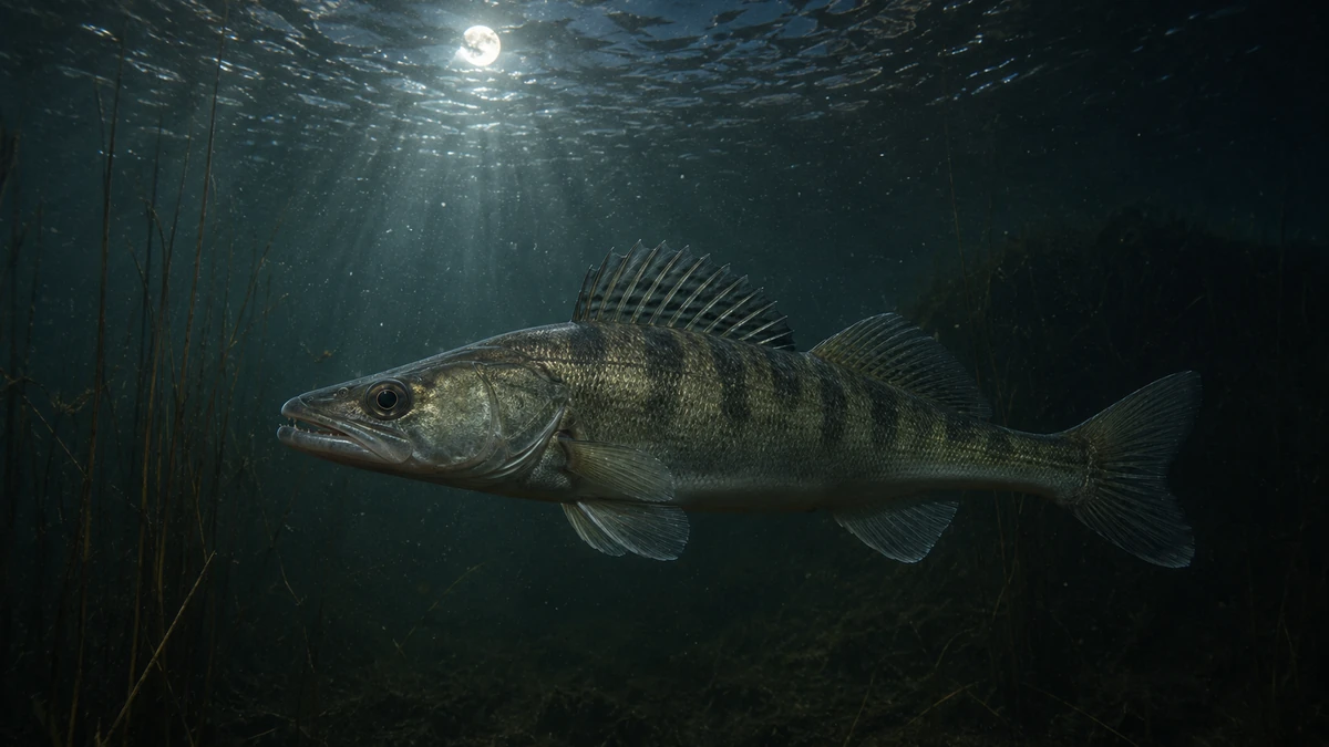
Eel in the dark, pikeperch in the moonlight: teaching the forecast to tell time
We're extending the catch forecast with temporal features — hour, season, moon. Most are small on average, but one splits the night hunters: eel wants the dark, pikeperch the moonlight.
 Research
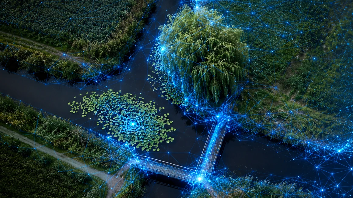
Teaching a model to see what an angler sees: self-supervised image recognition on aerial photos
Overhanging trees, bridges, T-junctions, lily beds. We're teaching an AI model which structures go with which fish — and why we haven't published it yet.
 Research
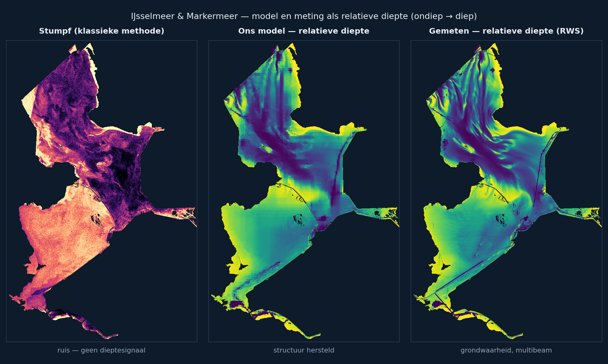
Reading the bottom from space: why we don't roll out satellite depth everywhere (yet)
We reproduced the standard method for satellite depth and built a model around it that works where the classic approach breaks down on turbid inland water — and still decided not to ship it everywhere. Here's why.